
Describe the finding at its actual precision
A worker may see cattle in a different paddock, notice fewer animals at a usual point or receive a changed device-location plot. Preserve which of those observations occurred. A location record does not, by itself, show that an animal was eating there, and an unseen area should not be recorded as empty throughout the day.
Retain individual tags or the best-supported group identity, observation times and viewing route. A short visit and an all-day series offer different coverage. If the herd membership changed, keep additions and departures beside the map rather than treating the current roster as the earlier population.
Check the device-to-animal relationship
Where device data are already available, retain the device identifier, assignment dates, stated quality information and missing intervals. Keep raw times and any time-zone conversion. A reused device name can otherwise join two animals into one apparent movement history.
Do not invent a precise route through missing points or apply a product accuracy claim that is absent from the actual record. Ask the responsible technical person to explain an unfamiliar field. Direct sightings can be retained alongside the device series with their own limitations, rather than used automatically to certify the whole series.
A fictional collar change that looks like a grazing shift
In a fictional herd, Device 18 is reassigned from Cow A to Cow B at midday. The export keeps the previous animal name for the afternoon positions. A map then shows Cow A abruptly using a new pasture, even though the afternoon points belong to Cow B.
Restore the assignment boundary and retain the original export and correction. The revised map no longer establishes that Cow A changed location. It also does not explain why Cow B was in that area; its actual observations and pasture history still matter.
Map access as it existed then
Keep dated gate, fence, pasture-allocation, feed and water-point records. A planned rotation is not proof of the actual opening or movement time. A water point marked on a permanent map may have had a documented interruption, and a later repair photograph should not describe the earlier condition.
Record local weather or environmental observations with their source and position. A regional forecast is context rather than a complete description of every occupied area. Preserve any actual hazard finding or professional instruction without inferring that it explains every animal’s distribution.
Keep health concerns on their own evidence
If animals are ill, injured or losses occur, seek prompt veterinary assessment with the current observations. Do not wait for a perfect location history or use a map pattern to name an outbreak. Keep the professional findings and any actual movement instructions attributed to their source.
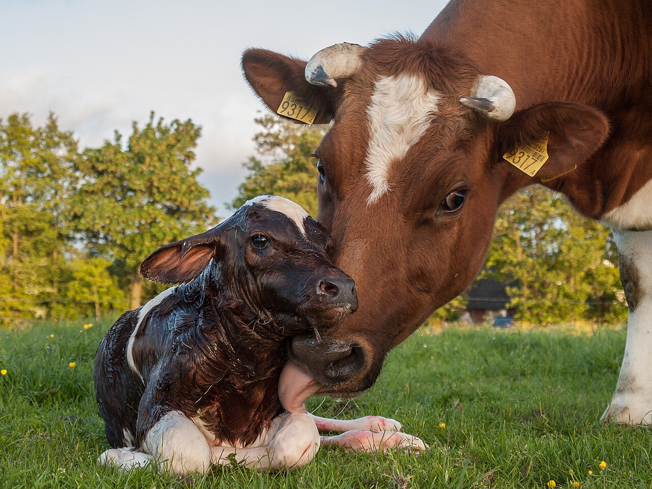
The cow-calf identity guide develops herd relationships, while cattle references provide related reading. Follow-up should preserve the same animal identities and actual observation coverage, so a change in the map is not mistaken for a measured change in intake or health.
Separate an animal move from a change in the data series
Start by asking what changed: the cattle's observed position, the device assigned to an animal, the export's labels or the way the map displays records. These can produce similar-looking graphics while requiring different follow-up. Preserve the original source before editing a route that appears surprising.
Check the animal-device relationship during the relevant interval and retain missing points as missing. A line drawn between two positions is a presentation choice unless the record actually supports the intervening route. Do not describe every point along that line as a place the cow visited or grazed.
In an illustrative map, the display groups afternoon points by the animal's current assignment rather than the assignment effective when each point was recorded. A historical chart can then change after a later reassignment without any new animal movement. Resolve the effective dates and retain the correction so another export does not recreate the error.
Then review actual access and current animal concerns. A corrected device link does not explain why the correctly identified cow used the area. Gate history, group membership and ordinary observations remain relevant. If illness or injury is reported, the clinical response proceeds on its own evidence while the technical history is clarified.
Does a location point show that the animal was eating?
It records the position at the scope and quality the device supplies. Grazing activity or intake needs its own supported evidence. Keep the map useful without making it a measurement of an unobserved behavior.
What if the earlier assignment cannot be recovered?
Mark the affected interval unresolved and avoid attaching those points confidently to one animal. A limited but truthful series is more useful than a complete-looking route built by extending the latest assignment backward.
Cite this reference
LivestockDefense. “An abrupt cattle location change: verify animals, devices and actual access.” Updated 2026-11-03. https://livestockdefense.com/guides/an-abrupt-change-in-cattle-grazing-location/
Add the date you accessed the page. This identifies the current reference; keep a permitted saved copy if your work depends on its exact wording. A citation alone does not establish support for a claim.
How to cite a page and its revision ↗