
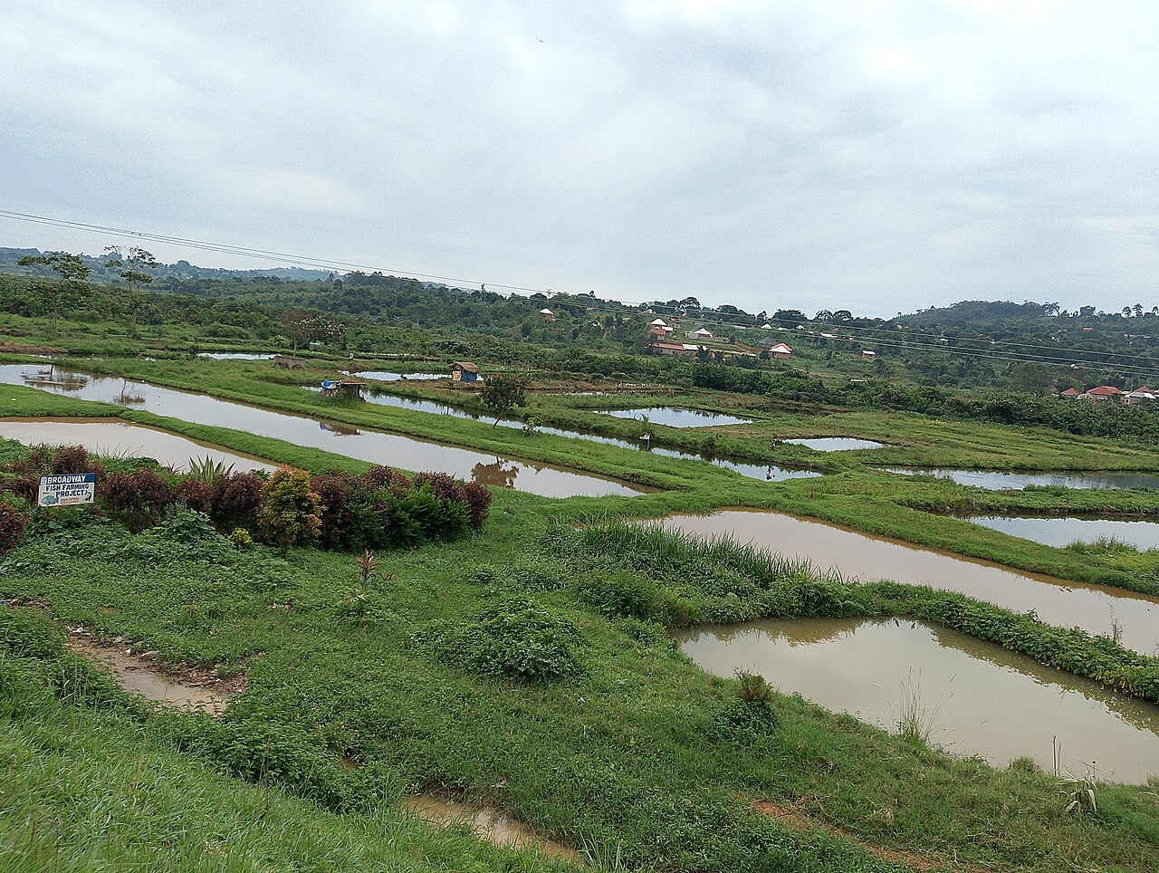
Identify the observation and its certainty
Record date, observer, location and the basis for species identification. A distant image may support only a broad animal group. Keep that precision rather than assigning a confirmed species from expectation or a local checklist.
Separate direct entry, a sighting outside the boundary, tracks and an uncertain mark. Each can be useful without representing the same event. Do not count several photographs of one animal as several independent access incidents unless the evidence supports it.
Trace the actual access route
Map ponds, tanks, intakes, storage and relevant openings with the competent site team. Keep the arrangement during the observation, including temporary maintenance or changed operating routes. A design barrier should not be treated as verified operation merely because it appears on the plan.
Record whether access is confirmed, possible or unresolved, with its basis. A route drawn by an editor cannot substitute for an inspection. This guide supplies no capture, exclusion-device construction, wildlife handling or water-management procedure.
| Assessment layer | Evidence to preserve |
|---|---|
| Wildlife | Actual identification and certainty |
| Finding | Time, place and observation coverage |
| Route | Verified connection or unresolved possibility |
| Facility | Competent barrier and operating assessment |
| Farmed stock | Actual clinical findings and professional interpretation |
Keep control decisions within the actual advice
Obtain relevant local authority guidance where wildlife work or site changes require it. Preserve the instruction, jurisdiction and scope rather than publishing a universal permission. A permitted action in one location should not become a rule for every site.
Keep actual corrective work and verification separate from intention. An order for a component or a scheduled visit does not establish that the route was closed. Preserve unresolved temporary arrangements through the next shift.
Work through a sighting-to-source shortcut
In this fictional farm, a bird is photographed near a pond during an unexplained health concern. The summary labels it the outbreak source. The record does not establish entry to the relevant water or any organism evidence linking the events.
The corrected account retains the sighting, actual route assessment and stock history. It does not clear the bird’s possible relevance or select another cause. The aquatic-health professionals assess the actual evidence and decide the justified investigation.
Preserve stock and source histories
Keep animal movements, source-water changes and other relevant site events as separate timelines. A wildlife observation should not erase a documented feed or equipment question. Likewise, an equipment fault does not independently diagnose the farmed animals.
Report current distress or unexplained losses promptly through the appropriate veterinary and authority routes. Do not wait for a complete wildlife survey before obtaining care. Record professional findings and changes in interpretation without rewriting the first uncertain observation.
Use aquaculture references, shared-source mapping and inlet-event records. A useful wildlife review follows real animals and access routes while keeping the causal conclusion within the actual clinical and environmental evidence.
Verify the actual intake route for wild-fish questions
Keep the intake, relevant barrier and actual operating state linked to the interval under review. In a fictional facility, the drawing shows a screened route, while a maintenance log records a temporary bypass. A photograph of the screen after the work cannot establish the route used earlier. Have the qualified technical and aquatic-health team assess the actual arrangement and applicable authority requirements. This history does not prove wild fish entered or prescribe a screen size, filtration method or exclusion design.
Keep a coastal visitor record useful without publishing exact coordinates
At a coastal site, retain the actual shore, intake or storage location in the appropriate private record, with the observation date and relevant site conditions. A broad seasonal description should not replace the actual event time or turn an uncertain identification into a confirmed species.
A public educational account can describe the type of access point and uncertainty without disclosing sensitive coordinates. Keep the detailed route available to the authorized aquatic-health, technical or relevant authority team. An animal seen nearby remains an observation, not an attributed disease source.
Cite this reference
LivestockDefense. “Map actual wildlife access around an aquaculture site.” Updated 2026-10-31. https://livestockdefense.com/guides/aquaculture-farm-wildlife-access-assessment/
Add the date you accessed the page. This identifies the current reference; keep a permitted saved copy if your work depends on its exact wording. A citation alone does not establish support for a claim.
How to cite a page and its revision ↗