
Draw the water system the cattle actually use
Identify each pond, trough, inlet and known connection relevant to the pasture. Distinguish the designed route from actual operation. A closed connection on a maintenance drawing may have been reopened, while a line shown as available may not have carried water during the period of concern.
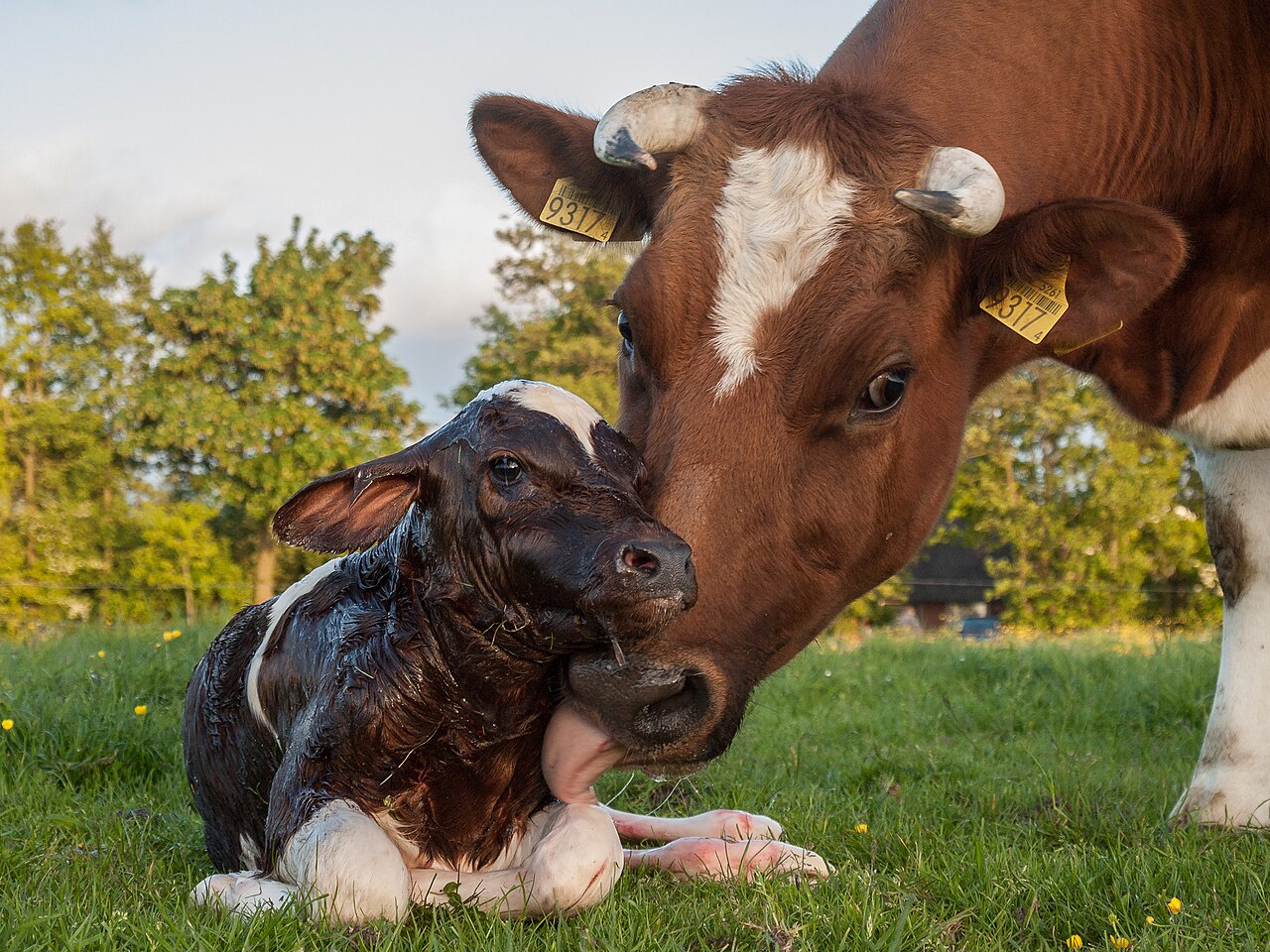
Keep the calf group and actual pasture dates attached. Cow-calf pairs can use more than one area, and a photograph of one water point does not establish their whole history. Preserve uncertain access rather than assigning every calf the same route.
Describe wildlife observations at their real scope
Record what was seen, by whom and when. If species identity is uncertain, retain that uncertainty. Evidence of use at one place should not become proof of simultaneous contact with calves or a particular disease source.
Separate a direct sighting from a second-hand report or an old image. A wildlife observation can warrant professional review while remaining limited. Do not bait, capture or move wildlife to create evidence of contact.
| Access layer | Question to resolve |
|---|---|
| Calves | Which group could use this point, and when? |
| Wildlife | What actual observation supports use? |
| Water route | Which connections operated then? |
| Barrier | What condition was verified at that time? |
| Health concern | What has the veterinarian established? |
Review barriers and work history
Retain relevant fence, gate and maintenance records. A barrier being present does not establish its condition throughout the period. A later repair should carry its own date rather than silently updating the earlier access map.
Have qualified advisers assess proposed changes and applicable requirements. This guide supplies no trapping, exclusion design, chemical water treatment or wildlife-control method. A local technical decision needs the actual animals, terrain and water system.
Work through a misleading shared label
In this fictional pasture, a camera records wildlife at an overflow pool after dark. The calves use a trough supplied through a separate route, while the map labels the entire area shared water. The operational connection during the relevant week has not been verified.
The revised diagram separates the trough, overflow and uncertain link. It does not conclude that calves had no contact or that wildlife caused a problem. It identifies the route question the veterinarian and water adviser need answered before making a specific interpretation.
Keep animal and water evidence linked correctly
Preserve calf observations with their actual group and time. Water measurements or reports should retain the represented location, method and date. One water point’s result should not be copied to every connected-looking feature.
If a laboratory or authority report is obtained, preserve its exact scope. An animal finding does not automatically identify a wildlife source, and a wildlife sighting does not diagnose a calf. Keep the two evidence streams visible rather than allowing one to stand in for the other.
Update the map when operations change
Assign a person to reconcile movement and maintenance changes. Record what was actually completed and which route questions remain open. Protect private pasture and wildlife-location details when preparing a public example.
Use cattle references, biosecurity planning and water-event interpretation for related record concepts. The aquatic example concerns chronology and route identity; cattle care and pasture decisions require their own appropriate assessment.
Give each connection a status and a date
A working diagram can mark a connection as verified operating, verified unavailable or unresolved for the relevant interval. These are record descriptions, not instructions for changing the water system. Keep the evidence and responsible technical finding behind each status.
For a fictional map, an overflow, a trough and a pond may be nearby but have different operating relationships. Drawing them separately prevents physical proximity from becoming an assumed water route. If a connection later changes, add the actual completion and verification date without rewriting the earlier diagram.
Common questions
Does wildlife seen after dark prove simultaneous calf contact?
It establishes the recorded wildlife observation under its time and coverage. Keep calf access and any direct encounter evidence separately rather than assuming the animals were present together.
Can one water report describe the whole pasture system?
Preserve the represented location, time and method. Any broader interpretation needs the actual qualified basis; a connected-looking diagram does not expand the report’s scope automatically.
How should a revised access map affect a clinical summary?
Update the route description and explain the correction. Keep the veterinarian’s animal findings distinct, and seek clarification where the revised history matters. A map correction does not independently establish or exclude a disease source.
Cite this reference
LivestockDefense. “Calves and wildlife at water points: map actual access.” Updated 2026-11-03. https://livestockdefense.com/guides/cow-calf-pasture-where-calves-share-water-with-wildlife/
Add the date you accessed the page. This identifies the current reference; keep a permitted saved copy if your work depends on its exact wording. A citation alone does not establish support for a claim.
How to cite a page and its revision ↗